Hydro acoustic surveying, quantitative seabed characterisation and geohabitat mapping of Maltese territorial waters
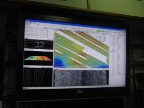
In the last two decades, multibeam echosounders (MBES) systems have gained recognition as the most effective tool to map the seafloor in detail. MBES systems provide two main types of information: (i) bathymetry (seabed depth), which is estimated by measuring the time it takes for a beam of sound to travel from a sounder to the seafloor and be reflected back to the sounder (bathymetry); (ii) backscatter (intensity of the acoustic reflections from the seabed), which is known to indicate variations in seabed composition, texture and benthic cover.
Classification of MBES data into seabed topography and composition has traditionally been carried out manually. This method is slow, subjective and potentially inaccurate, which is problematic in view of the large amount of data collected during modern surveys. There is thus a need to develop quantitative, computational techniques of MBES data classification that are robust, accurate, reproducible and unbiased. These techniques should rapidly transform large areas of bathymetric and backscatter data into simple, easily-visualised maps that supplement the interpreter with useful information. The semi-automated classification of MBES data is an advancing, but still underdeveloped, field that requires further research to realise the potential of the currently available MBES technology.
In consideration of the above, the purpose of this study is to:
1. To outline and test a quantitative, semi-automated, GIS-based methodology to map the distribution of seafloor composition and morphology in shallow coastal waters using high-resolution MBES data;
2. To identify and describe the key geohabitats in a selected area of Maltese coastal waters, and to map their distribution and extent.
This project is being carried out in collaboration with the National Oceanography Centre and the University of Bath (UK), and is funded by the RICS Education Trust.


